FAQ
01What kind of projects can Formline Viz work on?
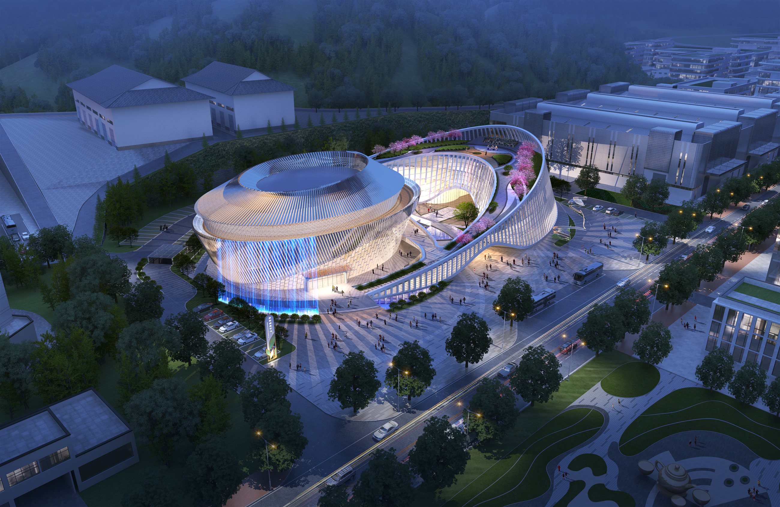
Architecture, landscape, infrastructure, planning and engineering-related visualization. The work can cover still images and selected animation, depending on project scope, schedule and available materials.
02What materials are needed to start?
Drawings, 3D models, site information, design descriptions, references, preferred viewpoints and any mood or material direction. A cleaner starting package helps the first visual direction become accurate faster.
03Can the project be handled remotely?
Yes. Communication can be handled by email and shared files. Clear written comments, marked-up images and organized reference folders make the process smoother across distance and time zones.
04How are revisions arranged?
Revisions are usually organized around agreed preview stages. Comments are best gathered into one clear file. Large design changes, new views or major re-rendering may require an adjusted schedule or quote.
05How is timing and pricing decided?
Timing and pricing depend on image quantity, model condition, visual complexity, resolution, deadline and revision scope. After reviewing the project materials, a clearer estimate can be prepared.
06Is animation available?
Selected animation work is possible when the project fits. The feasibility depends on the scene, movement, required duration, production time and the level of post-production needed.